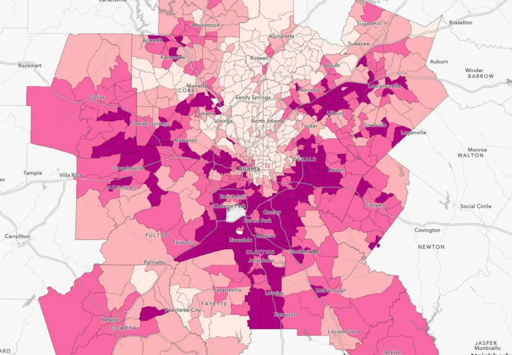
Explore 21 key demographic, economic, education and health indicators and their intersection with race and ethnicity at the census tract level for the 13-County metro area (Butts, Cherokee, Clayton, Cobb, Coweta, DeKalb, Douglas, Fayette, Fulton, Gwinnett, Henry, Rockdale, and Paulding).
Interactive Data for Metro Atlanta
To actively dismantle systemic barriers to equity, it is important to understand how inequity presents itself in the complex systems we interact within our daily lives. Aspects of these systems include:

Household economics
with people-based socio-economic data such as unemployment, household income, poverty status, families receiving SNAP benefits and household vehicle availability.

Housing and community
comprised of place-based and housing-related data such as rent burden, homeownership, housing value and housing vacancy.

Education
with variables relevant to academic achievements, such as educational attainment, post-secondary enrollment, 3rd-grade reading and 8th-grade math proficiency, and internet access due to its increasing relevance for education efforts.

Health and environment
including health insurance coverage, mental health, ER visits due to asthma other location-based variables, such as tree coverage.
More about how the tool works
Use the menu on the top of the screen to navigate between the different issue-specific maps. Use the layer list on the right-hand menu to display different sets of data. For more details about a specific location, zoom in by scrolling with your mouse and click on a census tract.
All data is presented at the census tract level for the 13-County metro area (Butts, Cherokee, Clayton, Cobb, Coweta, DeKalb, Douglas, Fayette, Fulton, Gwinnett, Henry, Rockdale, and Paulding). Sources include The US Census Bureau, Centers for Disease Control and Prevention (CDC), the Governor’s Office of Student Achievement (GOSA), and the National Land Cover Dataset (NLCD).